
Landscape evolution models (LEMs) are widely used to calculate changes in Earth’s topography due to erosion, but the model parameters are notoriously difficult to constrain.
In order to gain a better understanding and find the best-fit parameters, Gregory Ruetenik and his collegues from Surface Processes and Palaeoclimate team compared modelled erosion rates against a global compilation of long-term erosion rate data derived from cosmogenic 10Be.
This novel method demonstrates that LEMs, used in tandem with data, can inform us about the behaviour of real landscapes. They looked at the global variability in parameters and found a correlation between precipitation and coefficients for optimized models, where areas with higher precipitation corresponded to a higher erodibility. However, despite this general positive relationship, they also found an anomalously high erodibility in semi-arid environments. Landscapes are most easily eroded at both extremes of precipitation (wet and dry).
“We also saw unexpected correlations between rock-type and landscape erodibility, indicating that rock type alone cannot always be used to determine the erodibility of a landscape; other factors (such as the number of fractures in the rock) may be equally or more important than rock type,” adds G. Ruetenik.
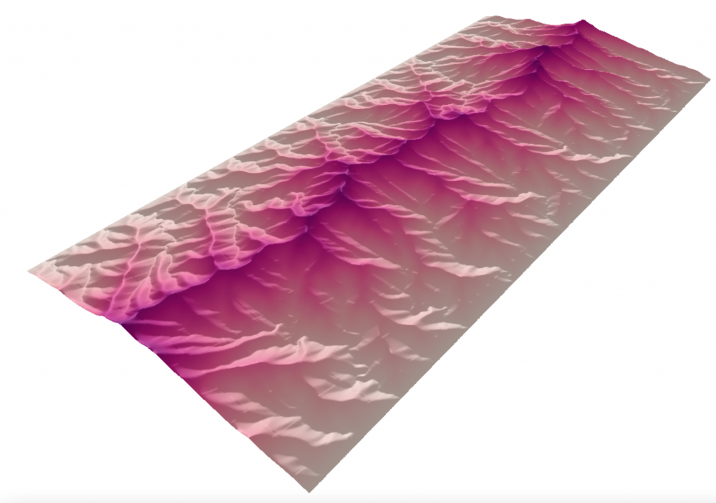
Example of an artificial mountain range generated using a LEM
Publication: G. A. Ruetenik, J. D. Jansen, P. Val, and L. Ylä-Mella, Optimising global landscape evolution models with 10Be, Earth Surf. Dynam., 11, 865–880 (2023). DOI: https://doi.org/10.5194/esurf-11-865-2023